|
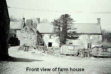
The farm is near Woolley Moor (not shown on map), the village moved up the hill to make way for the Ogston Reservoir (blue area on detailed map shown above).
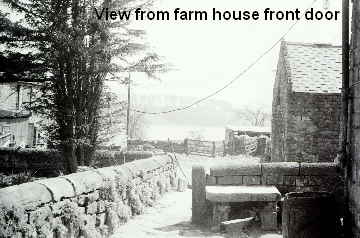
Part of the farm land was lost for the same reason. The reservoir can be seen in the distance.
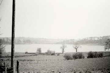
View from near gate in above picture looking over fields to reservoir.
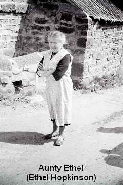
As kids we used to go and see Aunty Ethel and Uncle Bert at the farm several times a year. As usual in those days it always seemed warm and sunny there, probably because we only went there if it was warm and sunny.
They had chickens, turkeys, pigs and cows so we could see the newly hatched chicks in the incubators, watch the animals being feed and the cows being milked.
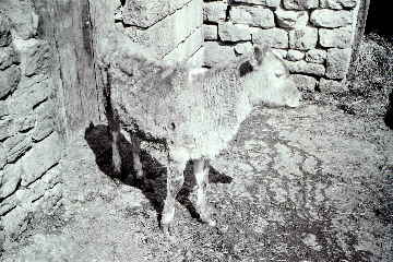
Various female relations (Ann, Sheena, etc.) had calves named after them.
We would have tea at a huge wooden table in the living room. There was an outside toilet at the bottom of the garden consisted of a broad plank with a hole in it.
Every year my father would make a trip to the farm just before Christmas to pick up a fresh turkey for our Christmas dinner.
(Pictures taken sometime around 1970).
|